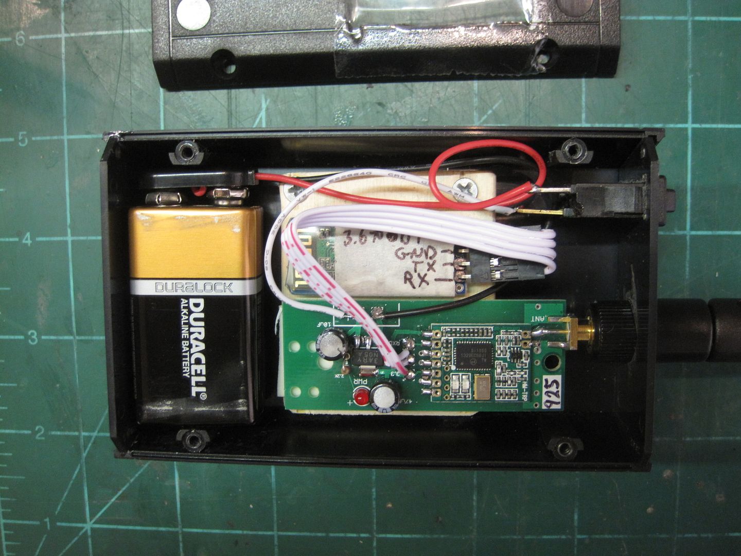
Made some progress with my Eggfinder/HC-06 talking to a Droid. We loaded the Bluetooth GPS app. and now have streaming NMEA data, satellite position and strength and a map that shows the location of the TX. No distance or heading to it though, and the maps go away when we are out of range from our Wi-fi.
So we loaded the Polaris Navigation app and got about the same stuff. So we loaded GPS Rocket locator and when "mock GPS provider" was enabled in the Bluetooth GPS app., Rocket locator shows where the rocket is, and when it's not enabled it shows where we are. No rocket distance or bearing. So close to having a device that can walk you right to the rocket, but one step away. Has anyone got this setup working yet?
So we loaded the Polaris Navigation app and got about the same stuff. So we loaded GPS Rocket locator and when "mock GPS provider" was enabled in the Bluetooth GPS app., Rocket locator shows where the rocket is, and when it's not enabled it shows where we are. No rocket distance or bearing. So close to having a device that can walk you right to the rocket, but one step away. Has anyone got this setup working yet?