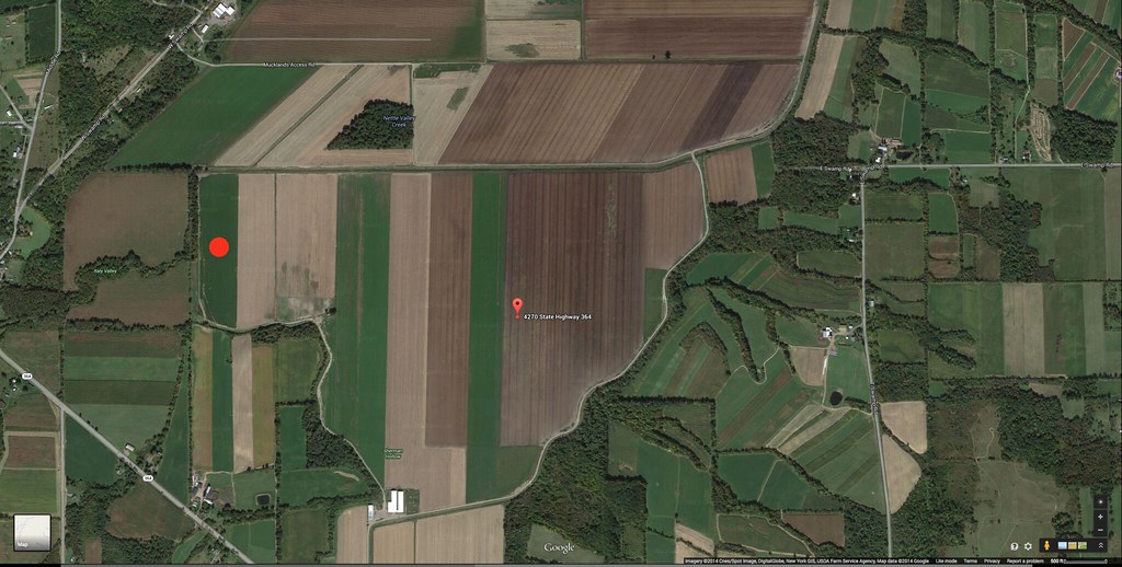
Not only do they mean it, but it is near impossible (without a sand rail or a tracked vehicle) to exceed it. The farm roads do not take you directly anywhere. For example, I landed just to the right of that small clump of trees. The drive there took close to 20 minutes each way. Also, the local Mennonite boys are very helpful in recovery. Always carry a small gratuity to thank them for their help. When I recovered out there, you could see how the breeze was dragging the airframe. Two young men had corralled it and were standing on the shock cord to keep it in place. Best $10 I ever spent.


")